Oceanir · Physical inferenceThe world leaves
The world leaves
evidence.
A photograph.
A video frame.
An observation.

Oceanir / Physical inference
Oceanir uses evidence to work out what’s true about the physical world. We’re starting with geolocation and building toward understanding places and events from photos, video, and live sensor feeds.
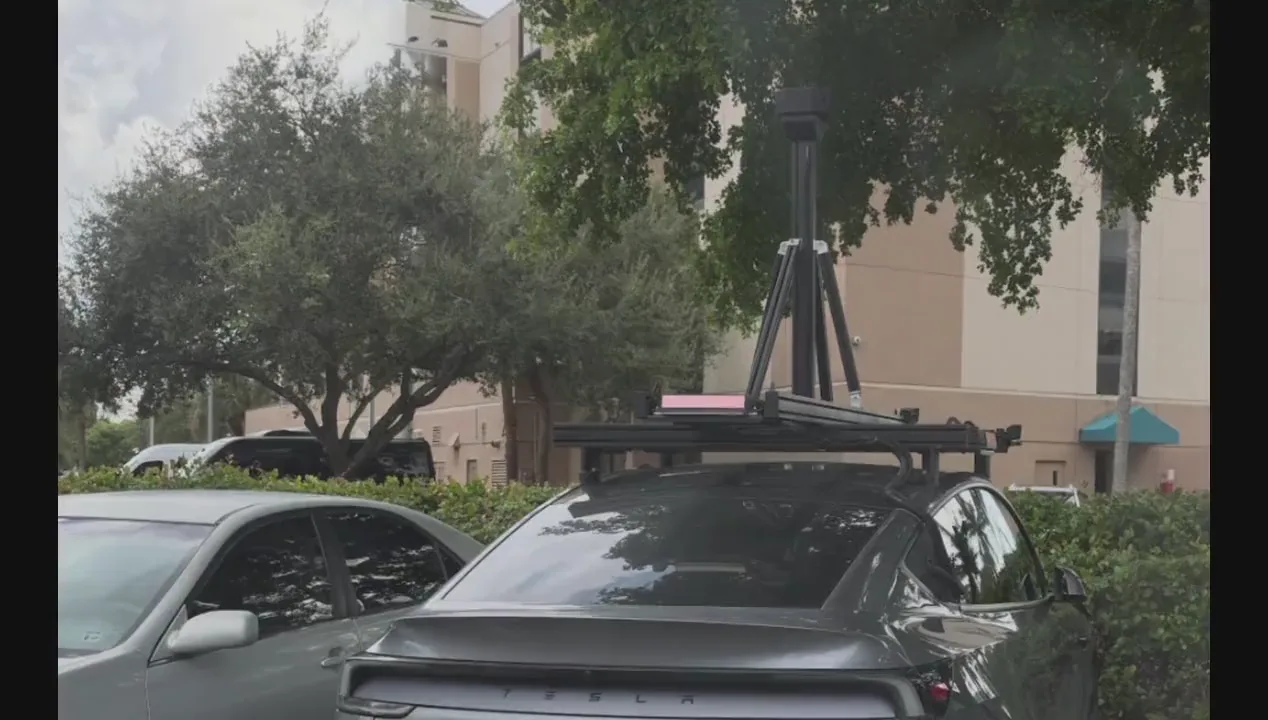
See why a location was suggested.
Check the clues, compare possible locations, and save your review. The estimate gives you a place to start, but it still needs checking.
01 / How it works
Knowing where an observation belongs connects it to the world around it. Find a place, examine its surroundings, and check a claim against the evidence, all in one workspace.
A photograph.
A video frame.
An observation.
01 Evidence
Find the signals.
Connect the context.
02 Observe
Building forms. Materials. The details of a place.
03 Reason
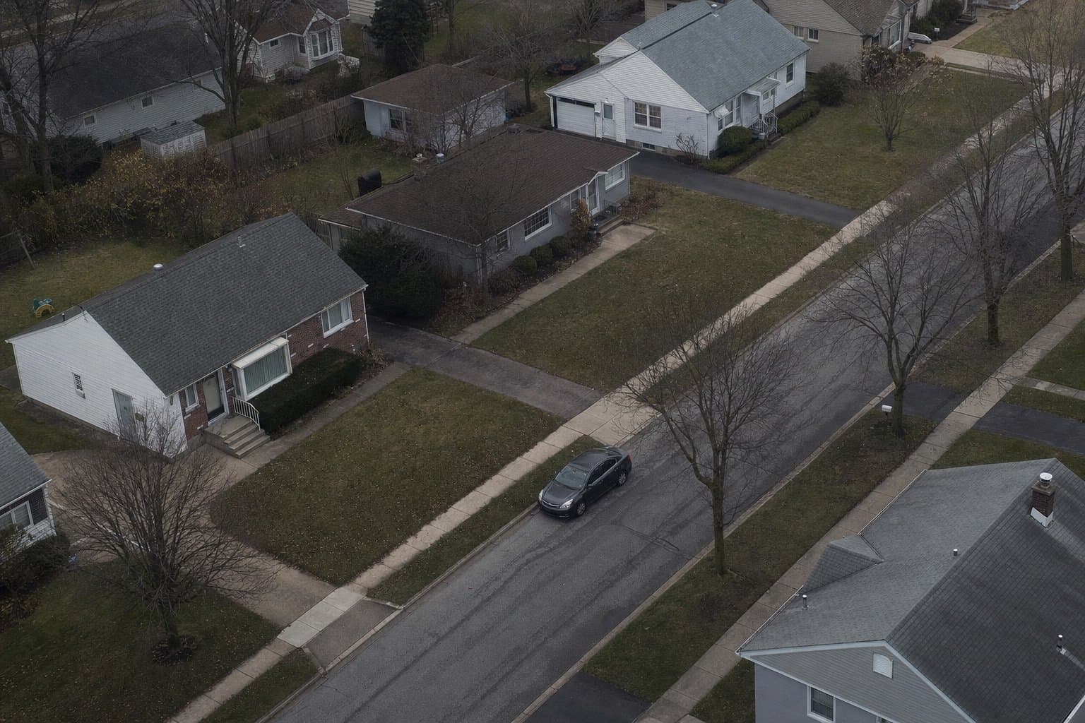
Compare the candidates.
Follow the evidence.
Keep the uncertainty.
04 Review
 Start with where.
05 Explore

 Roofline & skyline
A dome and minaret profiles are visible above the surrounding buildings.
Illustrative observations. Open the workspace to run an actual analysis.
Start with geolocation. Inspect candidate places and the visible clues that point to them.
Explore the workflow02 / Who it’s for
Investigate a place or event and see the evidence behind the answer. Check the reasoning, consider what’s uncertain, and keep a record for later review.
 Caspar David Friedrich, 1818
We’re also building this for robots, vehicles, and other embodied AI systems that need to locate themselves and understand their surroundings.
 J. M. W. Turner, 1844
03 / Products & access
Explore in the app, work in the platform, or build with the API. Choose the product that fits your work.
Find where a photo was taken, then examine the clues behind the estimate.
Explore OrcaCompare physical details and keep the evidence connected to your review.
Explore Manta
Our goal
One model that understands the physical world from photos, video, and live sensor feeds, for the people and machines that need to act on it.
Answers use Oceanir’s product information. Please keep personal details out of your question.


